
Accurate Site Data & 3D Models That Help You Bid Faster
Reduce site visits. Reduce guesswork. Submit proposals with confidence.
Bidding Shouldn’t Require Guesswork
Most projects start with incomplete site data, rough measurements, and assumptions about elevation, access, and layout. That leads to:
Multiple site visits before pricing
Delays sending proposals
Missed scope items
Unexpected issues during construction
Thin margins caused by bad assumptions
ProTerra Imagery eliminates those unknowns before you submit your bid.

We Turn Properties Into Accurate, Build-Ready Data
-
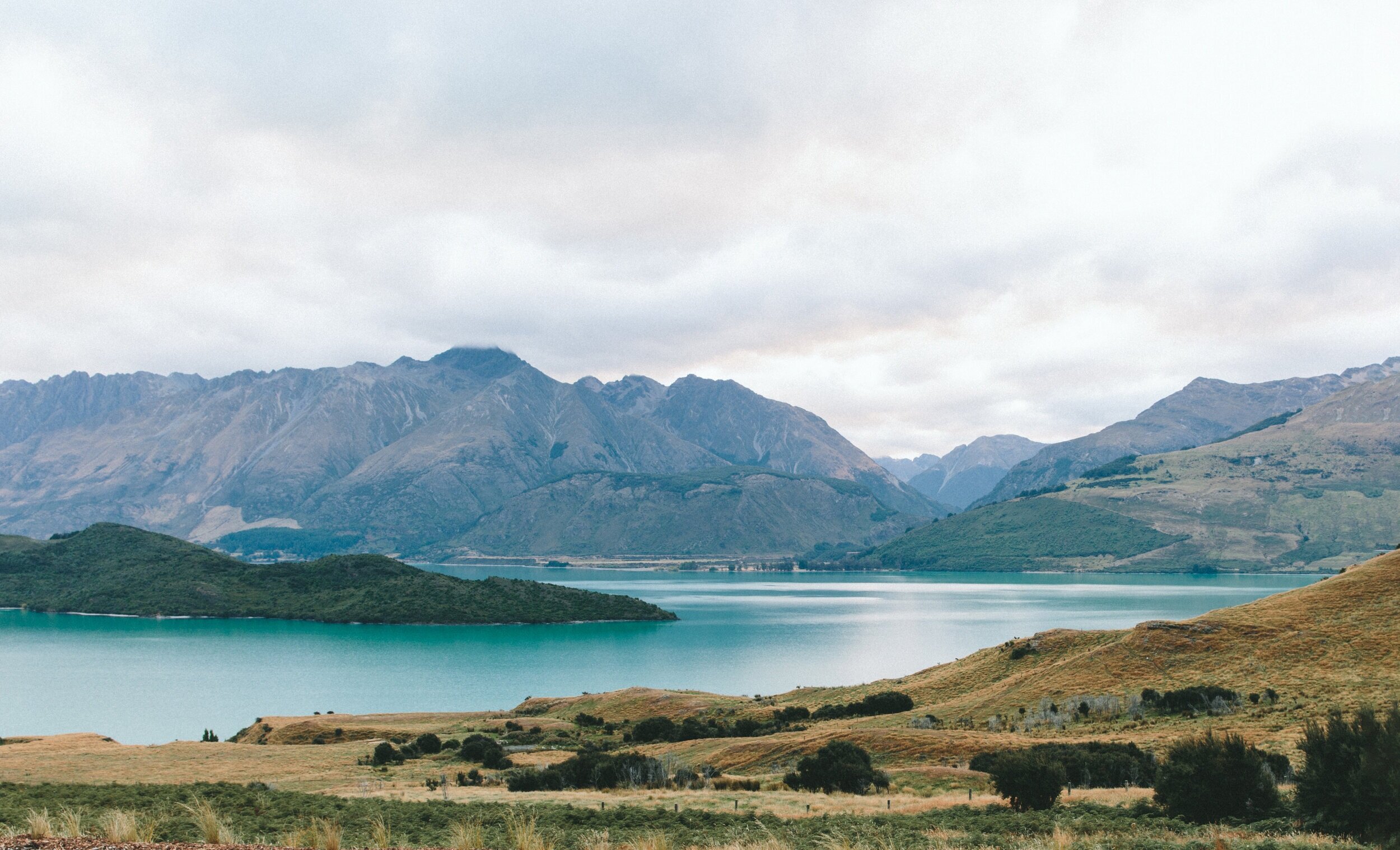
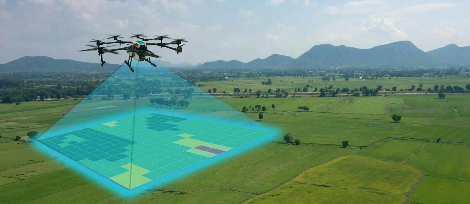
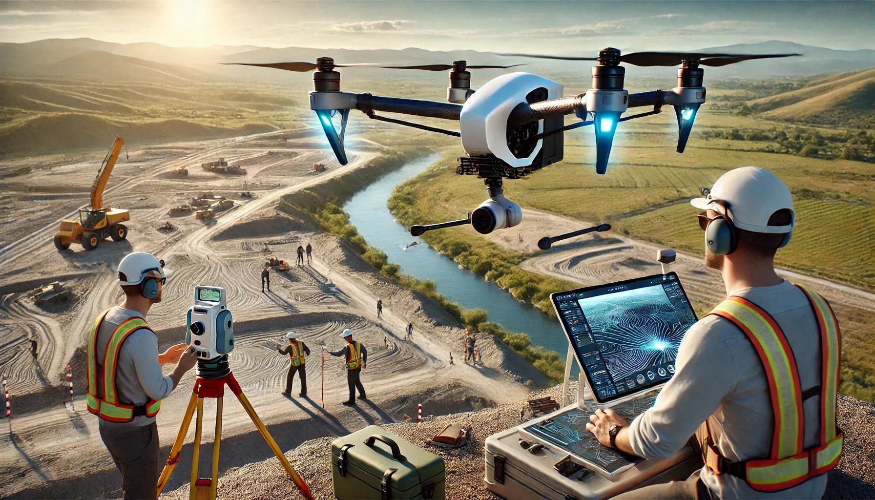
Drone Site Mapping
We capture high-resolution aerial imagery and terrain data to produce accurate site measurements, elevations, and property layouts — without repeated trips to the jobsite.
-
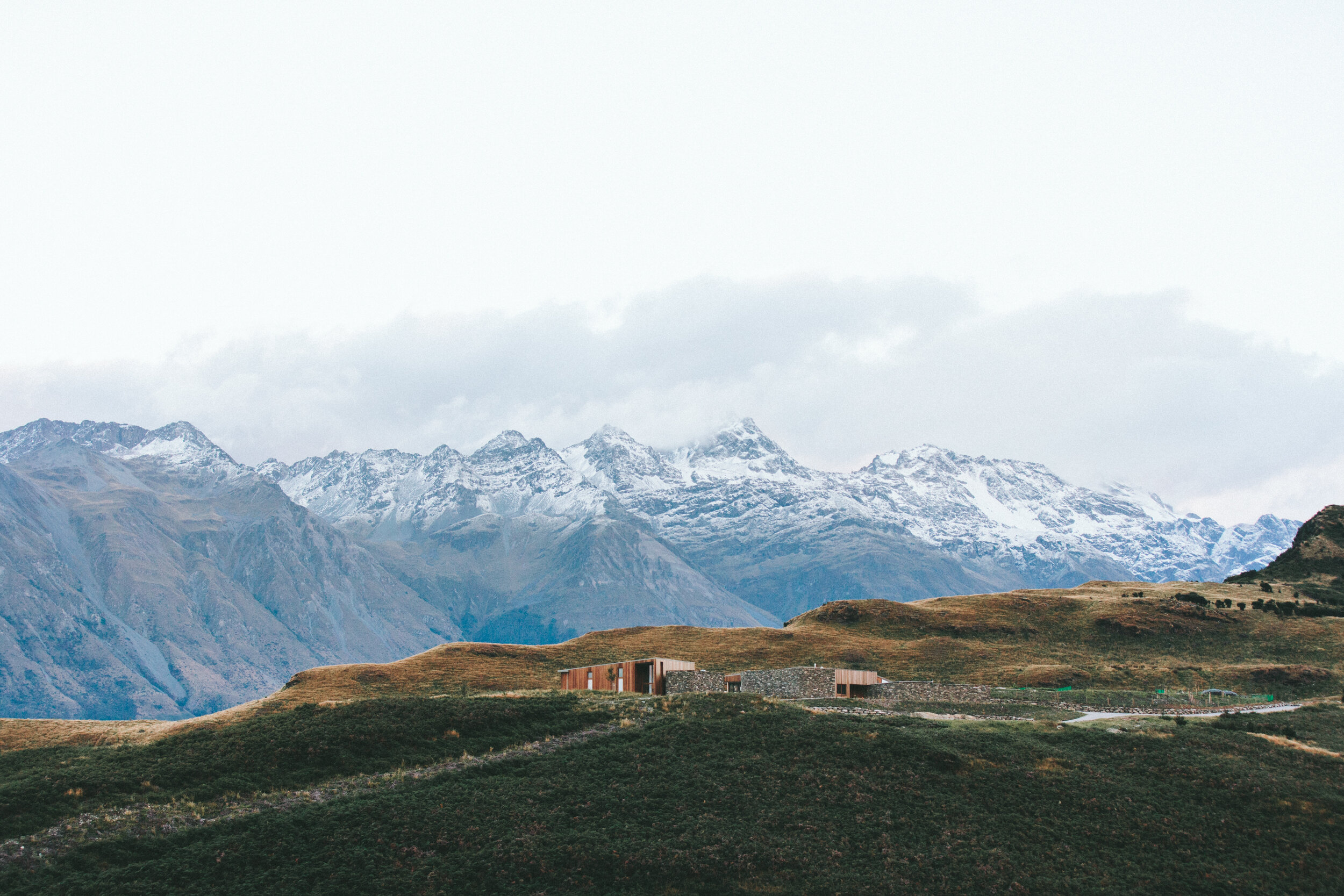
3D Site Modeling
We convert real-world data into a scaled 3D model of the property so you can clearly see build areas, slopes, obstacles, and layout constraints.
-
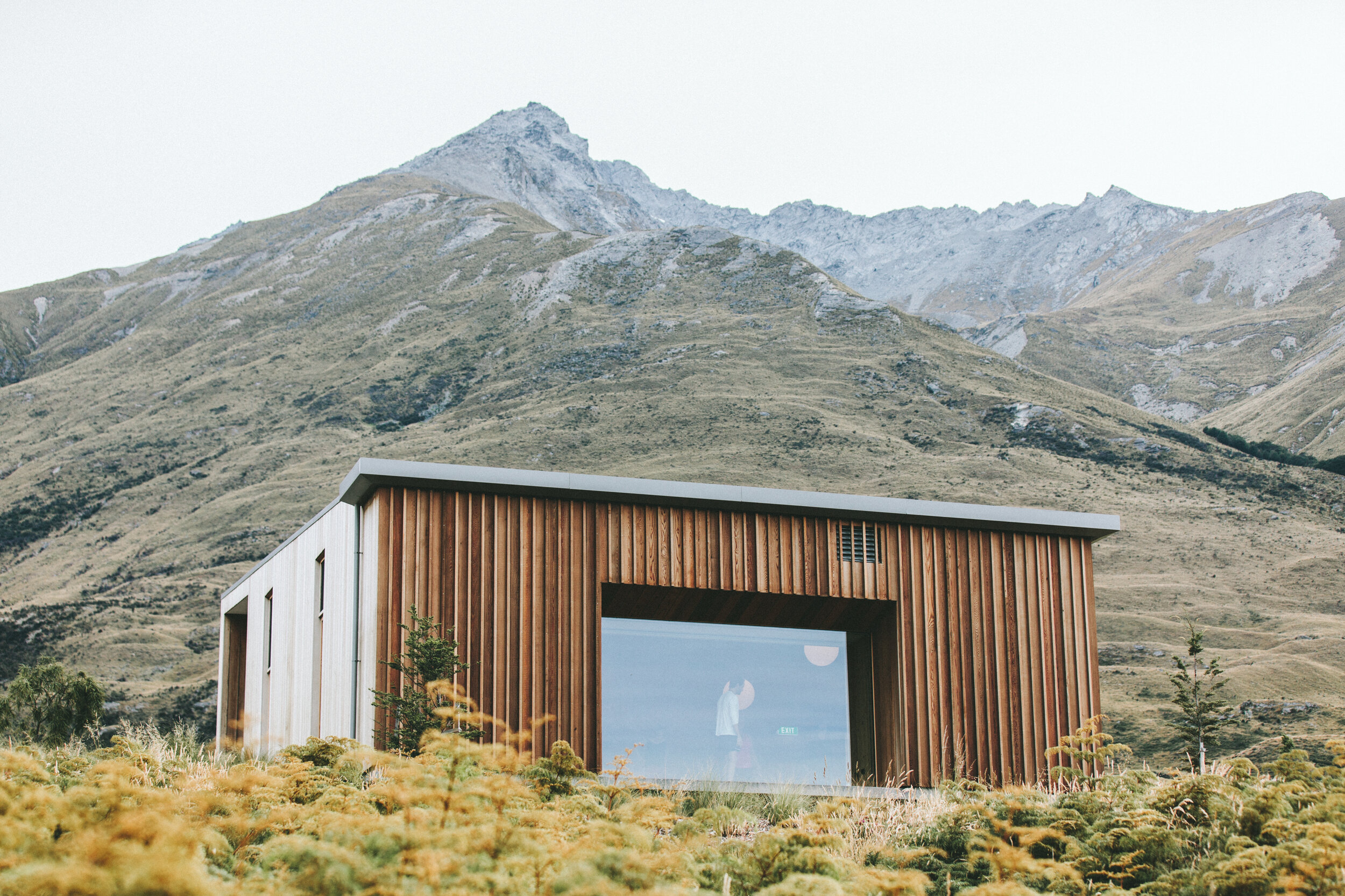
Scope-Ready Visualizations
We create clear 3D visuals that help define the project scope before pricing, reducing misunderstandings with clients and teams.
From Site Visit to Proposal in Record Time
Instead of spending days measuring, sketching, and revisiting the property, you get a digital site model that lets you plan and price immediately.
No more waiting on manual measurements
Reduce site visits and travel time
See grade changes and elevation issues before quoting
Price with more confidence and fewer contingencies
Deliver proposals faster than competitors
Win jobs with professional visuals that build trust
Fewer Unknowns = Healthier Margins
Bad site information is one of the biggest threats to profitability. Our models help you spot potential problems early, not after excavation begins.
You can identify:
Drainage challenges
Elevation transitions
Access limitations
Space constraints
Potential conflicts with existing structures
That means fewer change orders, fewer delays, and fewer “we didn’t see that coming” moments.
Here’s What Your Process Looks Like With ProTerra
Step 1 — We Map the Property
We fly the site and capture accurate aerial and elevation data.
Step 2 — We Build the 3D Model
You receive a scaled digital model of the property and layout.
Step 3 — You Plan & Price Faster
Use the model to define scope, plan logistics, and build a more accurate bid.
Step 4 — You Present With Confidence
Show clients exactly what you’re pricing using clear 3D visuals.

Built for Contractors Who Want an Edge
Perfect for:
Pool builders
Outdoor living contractors
Landscapers & hardscapers
General contractors
Site development contractors
If your bids depend on site conditions, ProTerra helps you price smarter and faster.
Stop Guessing. Start Bidding With Real Data.
Let us handle the mapping and modeling so you can focus on winning and building great projects.