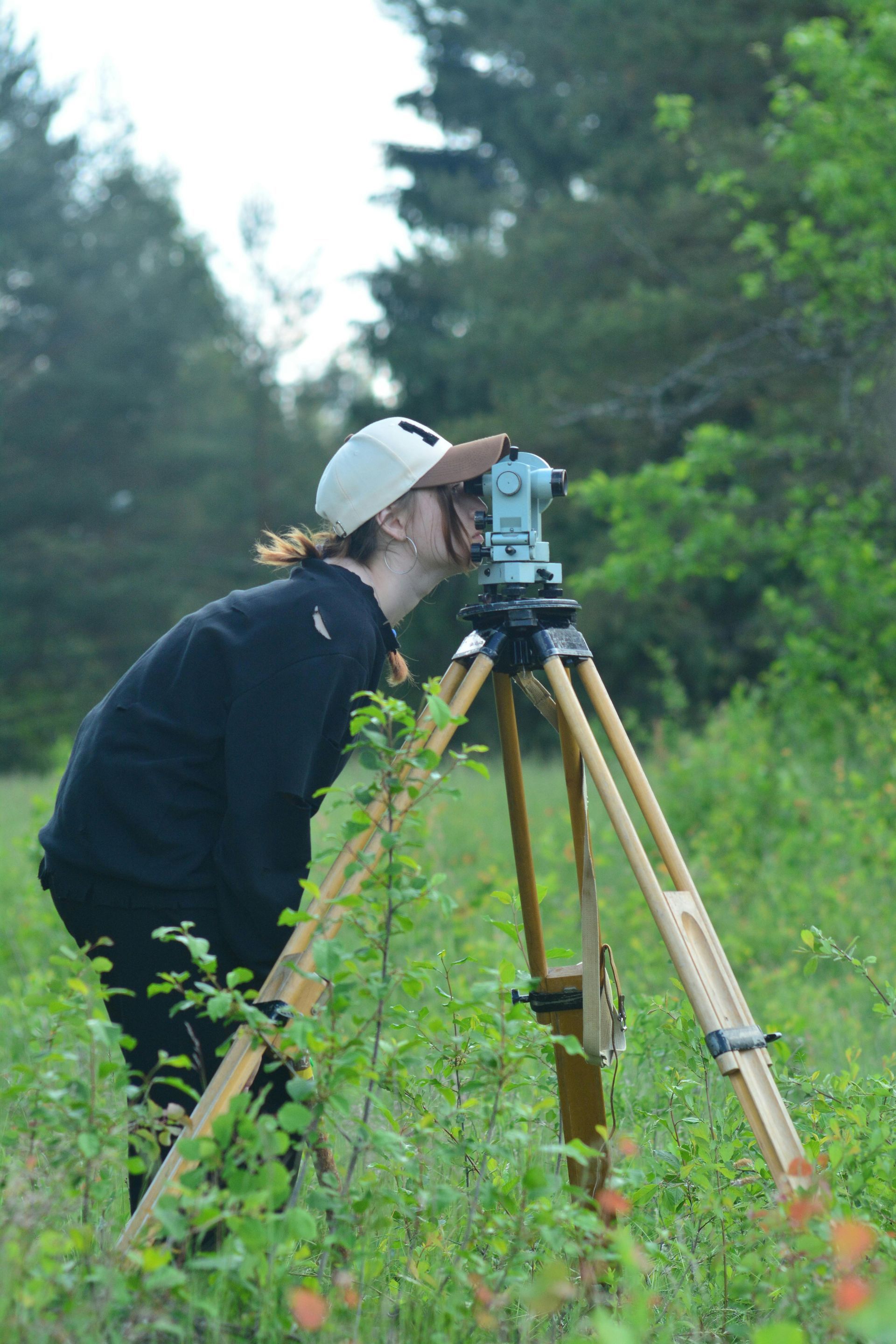
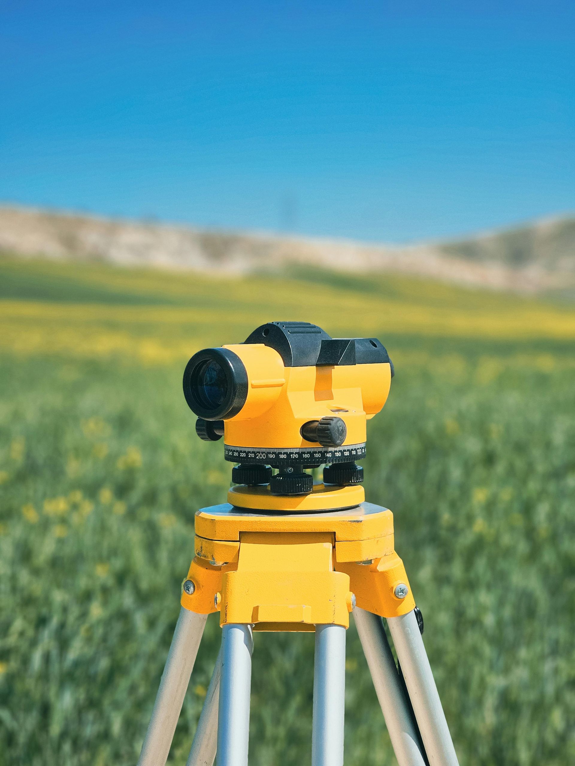
Surveyors & Mapping

We provide a wide range of professional services to meet your needs. We promise to provide every service with a smile and to your highest level of satisfaction.

Revolutionize Your Workflow With Photogrammetric Services

Surveyors using photogrammetry work 2–5x faster than with traditional methods. Drone data collection covers large areas quickly, reduces on-site labor, and minimizes disruption.

Aerial Imagery

Showcase properties with stunning aerial views:


  • Highlight buildings and surrounding landscapes
  • Reveal features traditional photography misses
  • Offer a clearer sense of location and layout
  • Help buyers envision the lifestyle and community from above


3D Models & Orthomosaic Maps

Engage buyers with interactive visuals:


  • High-res maps and 3D models of the property
  • Show interior and exterior from multiple angles
  • Help buyers understand layout and key features
  • Create an immersive experience that builds connection
  • Make it easier for buyers to envision living there

Interior Scans & Floorplans

Enhance listings with interior scans and floorplans:


  • Show clear layout and flow before in-person visits
  • Highlight unique features and room connections
  • Help buyers visualize living in the space
  • Create a more engaging, decision-ready experience


Common Applications

Traditional land surveying methods can be time-consuming and labor-intensive. ProTerra Imagery's drone-based mapping technology captures high-resolution aerial data in a fraction of the time, reducing fieldwork hours and accelerating project timelines without sacrificing accuracy.

Our aerial photogrammetry and LiDAR-based data collection provide precise topographic maps, elevation models, and volumetric measurements, supporting surveyors with the detailed site data they need for land development, construction, and infrastructure projects.

Drones can efficiently capture data from large, remote, or hazardous terrain that may be difficult or unsafe for surveyors to access on foot. This improves efficiency and safety while allowing survey companies to take on more complex projects with ease.

By leveraging ProTerra Imagery's drone mapping services, surveying firms can reduce equipment costs and manpower requirements, allowing them to take on more jobs without increasing operational expenses. Our aerial data enhances traditional surveying workflows, making them more efficient and profitable.

Our high-resolution orthomosaic maps, DEMs (Digital Elevation Models), and 3D site models are compatible with industry-standard GIS and CAD software, allowing surveyors to easily integrate ProTerra's data into their existing workflows for boundary surveys, site analysis, and land development planning.

  • Data Collection

    Traditional land surveying methods can be time-consuming and labor-intensive. ProTerra Imagery's drone-based mapping technology captures high-resolution aerial data in a fraction of the time, reducing fieldwork hours and accelerating project timelines without sacrificing accuracy.

  • Accuracy

    Our aerial photogrammetry and LiDAR-based data collection provide precise topographic maps, elevation models, and volumetric measurements, supporting surveyors with the detailed site data they need for land development, construction, and infrastructure projects.

  • Accessability

    Drones can efficiently capture data from large, remote, or hazardous terrain that may be difficult or unsafe for surveyors to access on foot. This improves efficiency and safety while allowing survey companies to take on more complex projects with ease.

  • Cost Effective

    By leveraging ProTerra's drone mapping services, surveying firms can reduce equipment costs and manpower requirements, allowing them to take on more jobs without increasing operational expenses. Our aerial data enhances traditional surveying workflows, making them more efficient and profitable.

  • Integration

    Our high-resolution orthomosaic maps, DEMs (Digital Elevation Models), and 3D site models are compatible with industry-standard GIS and CAD software, allowing surveyors to easily integrate ProTerra's data into their existing workflows for boundary surveys, site analysis, and land development planning.

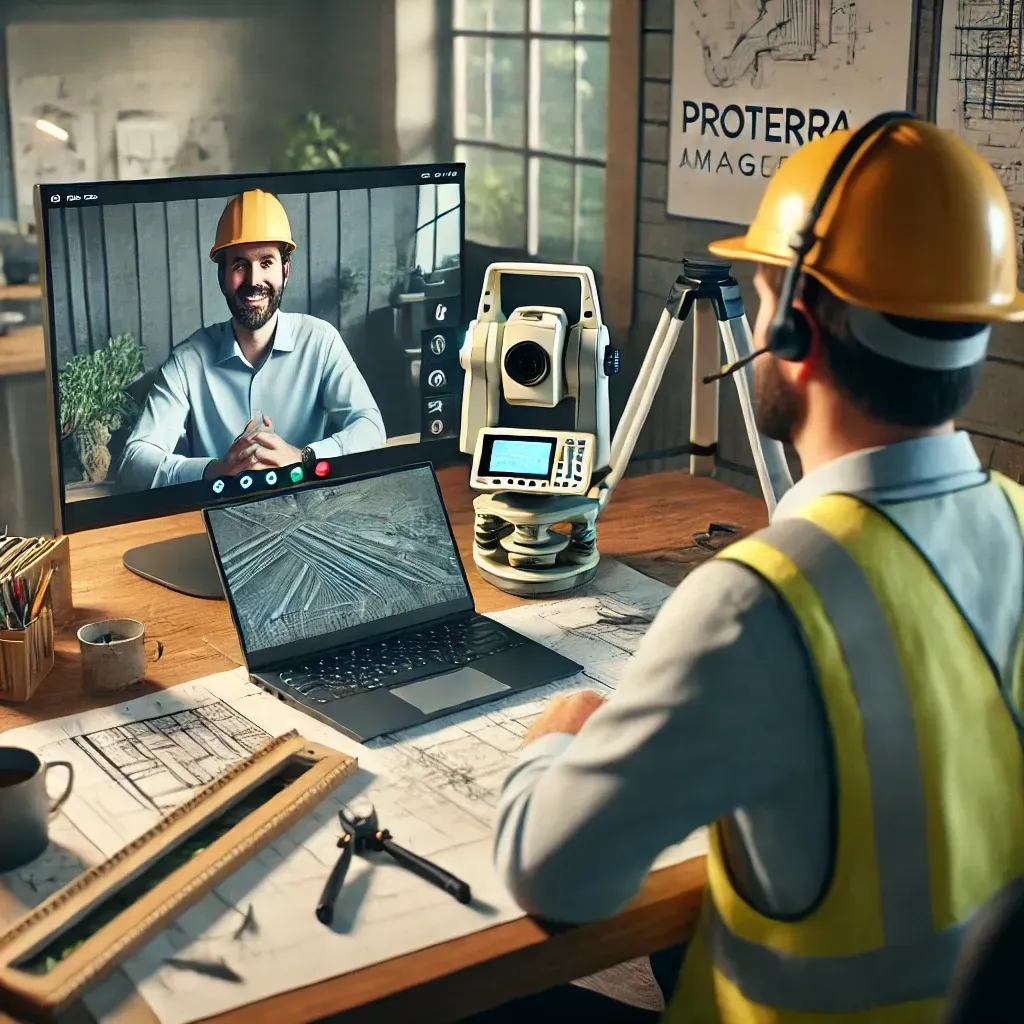
Contact Us to See How ProTerra Can Elevate Your Business

At ProTerra Imagery, we understand the challenges surveyors face in today’s fast-paced environment. We invite you to reach out for a face-to-face or remote meeting to discuss your current methods and explore how our cutting-edge drone technology can seamlessly complement your workflow. Let’s collaborate to enhance your project planning and presentation, ensuring you can bring your clients’ visions to life with unparalleled accuracy and efficiency. We’re excited to help elevate your work!


Contact Us

Eastern Alabama & the Gulf Coast Region

850-805-6937

Info@proterraimagery.com

Contact Us